
The introduction sets the stage by highlighting the importance of seismic imaging in understanding subsurface geology, identifying potential hydrocarbon reservoirs, and optimizing resource extraction strategies. It provides context for the subsequent discussion on seismic imaging technologies and applications.
Fundamentals of Seismic Imaging:
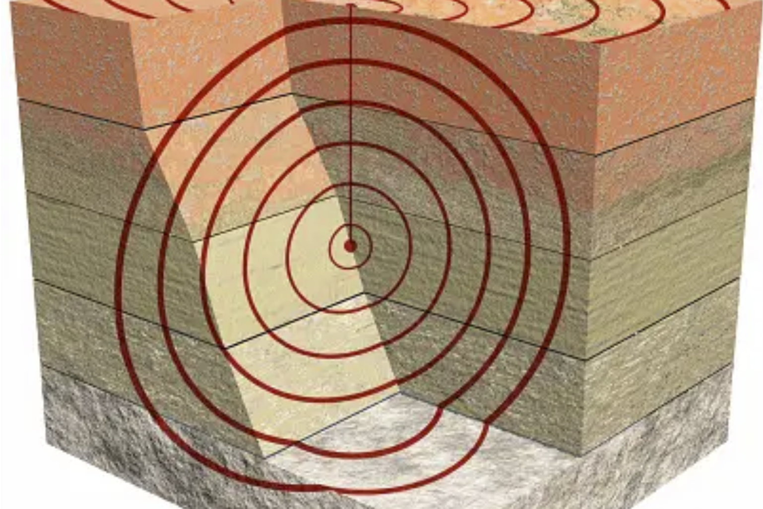
This section provides an overview of the basic principles of seismic imaging, including seismic wave propagation, data acquisition methods, processing techniques, and interpretation workflows. It explains how seismic data are collected, processed, and interpreted to create detailed images of subsurface structures and geological features.
Recent Advances in Seismic Imaging:
- Multi-component Seismic Imaging: Discusses the use of multi-component seismic data, including P-wave, S-wave, and converted-wave data, to improve subsurface imaging resolution and characterization accuracy.
- Full Waveform Inversion (FWI): Explores the principles and applications of FWI techniques for generating high-resolution velocity models and improving the fidelity of seismic images.
- Seismic Attribute Analysis: Examines the role of seismic attributes in reservoir characterization, fault delineation, and lithology identification, highlighting their importance in reducing exploration risk and improving decision-making.
- Time-Lapse Seismic Monitoring: Discusses the use of time-lapse (4D) seismic imaging for reservoir monitoring, production optimization, and reservoir management.
Applications of Seismic Imaging: This section explores the diverse applications of seismic imaging across different industries, including oil and gas exploration, geothermal energy development, mining, and civil engineering. It showcases case studies and real-world examples that demonstrate the effectiveness of seismic imaging in solving complex subsurface challenges.
Challenges and Future Directions: Addresses the challenges and limitations associated with current seismic imaging technologies, such as data resolution, noise reduction, and interpretation uncertainties. It also discusses ongoing research efforts and emerging trends aimed at overcoming these challenges and pushing the boundaries of seismic imaging capabilities.
Conclusion:
In conclusion, the article emphasizes the pivotal role of seismic imaging in subsurface exploration and resource management. It underscores the importance of continued innovation and collaboration in advancing seismic imaging technologies to unlock new opportunities and address evolving industry needs.
To continue reading the complete article, click the link below: